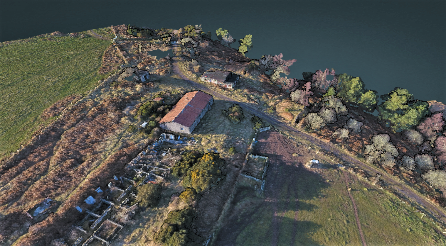
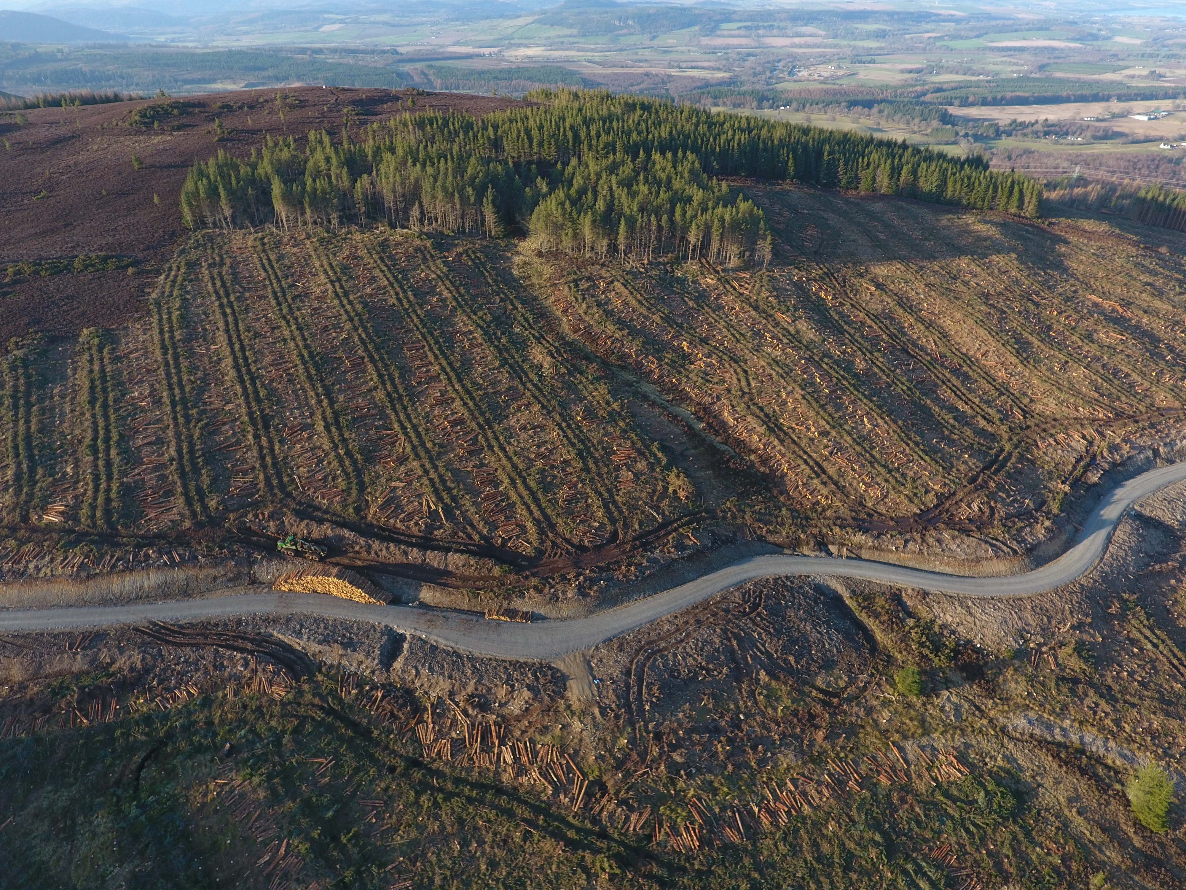
Precision Aerial Surveys is a small business that specialises in data collection and analysis within forestry. We collect data using our high-quality sensors. The information that we provide will help make decisions to achieve the full potential and return of land by identifying marginal issues and looking at the whole forest and not just representative plots.
.JPG)